Hands-on Archeology in Bqaatouta on Section 14 of the LMT
by Alia Fares
Two thousand years ago, the Roman empire spread its military power and ruled over the entire Mediterranean Sea, the so-called Mare Nostrum.
Starting in the 1st century BC up until the end of the 4th century A.D, the Romans established 400 years of military control over most of the coastal regions from the western bays of southern France to the eastern harbors of Yemen. During that period, roman architecture, language, artifacts, economy, and social traditions prevailed and were turned into symbols of a wealthier status quo for local inhabitants.
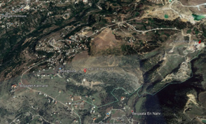
Google Maps image of the Darjeh site, close to Bqaatouta village
Today, tangible evidence of this roman historic heritage “turned local,” is attested for in the architectural legacy revealed along with Lebanon’s western mountain range. Roman roads, bridges, aqueducts, temples, villa rusticae, rock-cut tombs, and ancient settlements, just to name a few, build an enormous corpus of cultural heritage sites which can still be visited today, hidden in faraway villages, in between large ancient oak trees and strategically on top of mountain cliffs.
One of these antique sites is found between Kfardebian and Baskinta, along section 14 of the Lebanon Mountain Trail below Mount Sannine.
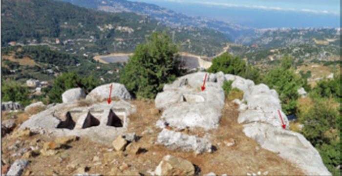
Site rocky plateau with a view towards southwest
Known as the “Blata” (rocky flat plateau), the site is made up of 3 horizontal rock-cut burial parallel aligned tombs and 2 adjacent wine press installation basins, all carved into the natural limestone surface from the rugged upper hills of Bkaatouta overlooking the scenic landscape with a breathtaking view down to Beirut. The site is part of the survey of the Lebanon Mountain Trail Cultural Heritage Project, which aims to document and highlight all heritage sites located on the 470km of the LMT.
The LMT trail leads further towards another hiking path between Bqaatouta and Baskinta, which lately has become rather popular, leading down towards el-Assi, the water source of the dog river and continues towards Baskinta.
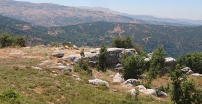
General view towards the west with three burial sites on the left, and two winepress basins to the right. Notice the Beqaata dam in the background
Spectacular waterfalls, stunning picturesque mountain vistas, and very dense vegetation surround the trekker from every side of this newly discovered path.
Uncontrolled and harmful touristic activity in the summer of 2020 led Baskinta to close the trail from their side. To protect and preserve both the cultural and natural heritage, and still allow tourists to visit the area, a hands-on archaeological training (with pre-obtained approval from the Lebanese General Directorate of Antiquities) and a proper mountain guiding educational tutorial were developed with the purpose of training new local guides from the region to maintain the flow of tourists and learn about their heritage. Six young boys and girls aged between 13 and 20 years old participated in three consecutive days of preliminary archaeological site cleaning works, historical educational sessions, and cultural heritage values.
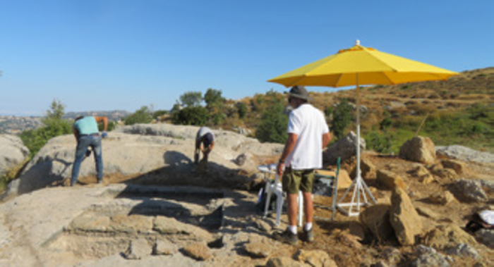
Site cleaning with the municipality, youth and village workers
This training was accompanied by a second session in Mazraat Kfardebian, in collaboration with Auberge Beity and the German Friedrich Ebert Stiftung on local mountain guiding techniques, flora, and fauna of the region, as well as historical and archaeological presentations.
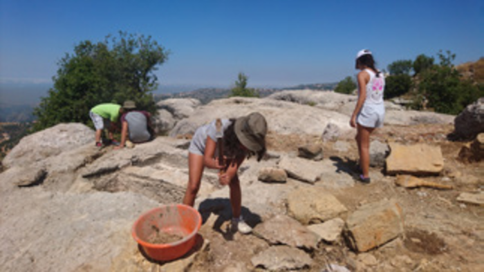
Youth doing preliminary archaeological site cleaning tasks
The local youth of Bqaatouta, Kfardebian, and Faraya were given the knowledge and the opportunity to appreciate and better explain their own heritage to all future visitors. The Bqaatouta trail was also labeled as “Darb el-Tourath” or Heritage trail and awaits the inauguration of informative panels in the coming weeks. The youth of Bqaatouta have become proud ambassadors, protectors, and promoters of their own ancient cultural and natural legacy.
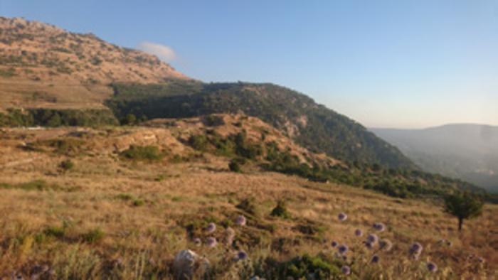
General view from the site towards the south and lower el-Assi river waterfalls
The archaeological training at the Blata site and in Mazraat Kfardebian has been achieved thanks to the support and aid of:
Josephine Zgheib (Beity Association), Serge Soued (Lebanese
Adventure), George Jeha (Flora and Fauna), the Red Cross Branch
of Kfardebian, Rachid Moubarak (Bqaatouta Municipality
consultant), Alia Fares (archaeologist:
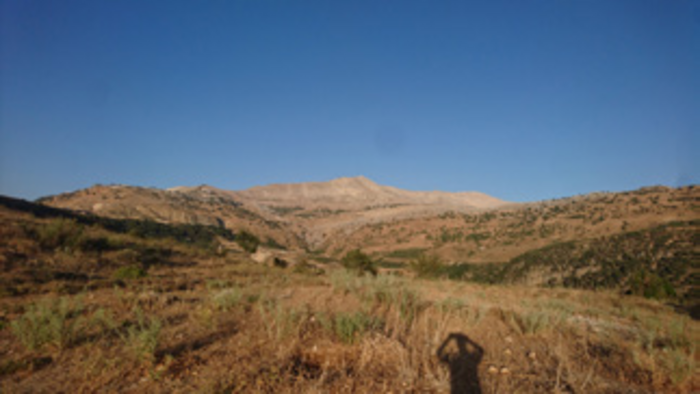
General view from the site towards the east with Mount Sannine in the background
